January 31, 2024 • #
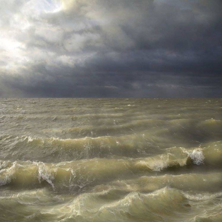
I’ve seen this view. Florida gulf coast, July, summer storm, high chop.
I’ve seen this view. Florida gulf coast, July, summer storm, high chop.
Hurricane Ian headed for Florida.
A new blogging tool, the complexity of hand-drawn visualizations, and detecting wildfires from satellites.