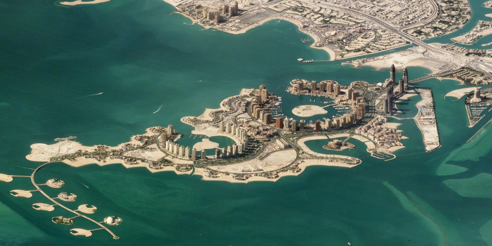
The team from Planet, maker of microsatellites for remote sensing, shared this set of images taken by their SkySat constellation. As this technology advances, it’s going be a phenomenal resource to make high-accuracy 3D models of cities and terrain.
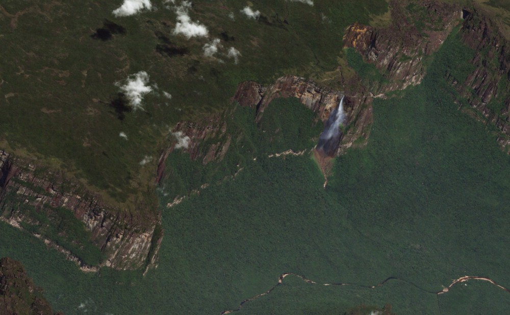
I love browsing Google Earth and looking at massive elevation differentials and escarpments like Yosemite or like Auyán Tepui, the tabletop mountain best known for Angel Falls: