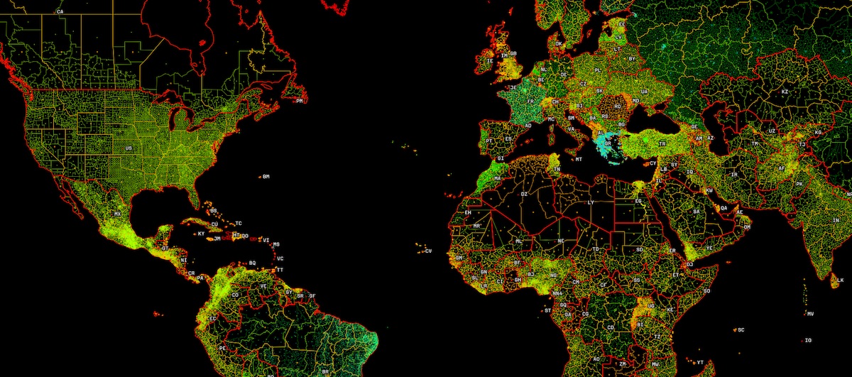
Mapbox has built this curated dataset of administrative boundaries from country level down to local geographic units like arrondissements, prefectures, and districts. Knowing how difficult it is to aggregate and clean up all this different datasources into a single cohesive product, this is an impressive dataset that they’re providing through their developer tools for geocoding and joining to other data. Browse the dataset on this interactive map.