colemanm.org

  • Archive
  • Books
  • Links
  • About

The Roads of Planned Cities →

January 26, 2020 • #

Mike Bostock published this cool Observable notebook that generates snapshots showing road networks of centrally-planned cities. Brasilia as an example:

Brasilia roads

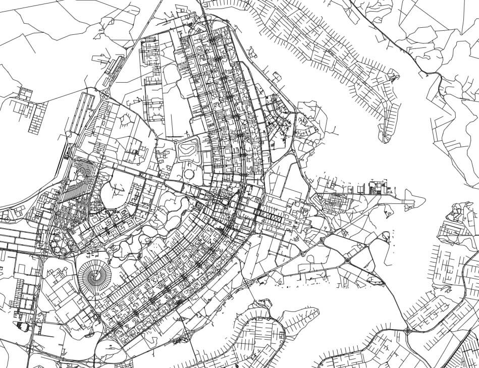
It uses a combo of D3 and OpenStreetMap data to generate vector tiles.

✦
Related Posts
  • Weekend Reading: Figma's Typography, Xerox Alto, and a Timeline of CoVID — Figma's attention to typographic detail, restoring a Xerox Alto, and mapping the spread of CoVID-19.
  • Weekend Reading: Blot, Hand-Drawn Visualizations, and Megafire Detection — A new blogging tool, the complexity of hand-drawn visualizations, and detecting wildfires from satellites.
  • How PG+E's Aging Equipment Puts California at Risk — Visualizing the situation in California with PG&E and wildfires.
  • Archive
  • Talks
© Coleman McCormick, 2010-2023. •