June 27, 2024 • #
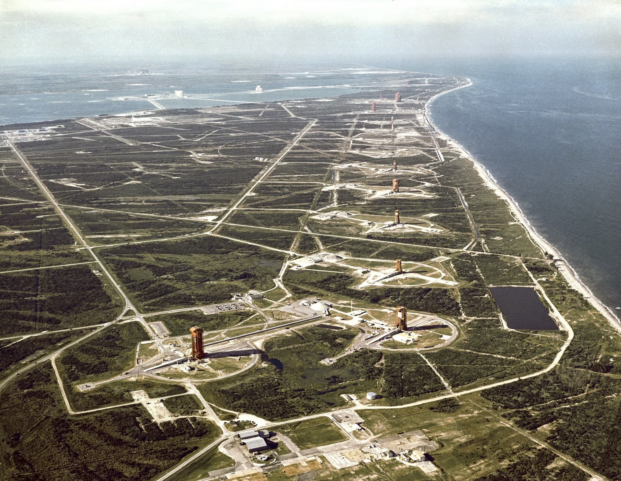
The launch complex at Cape Canaveral.
The launch complex at Cape Canaveral.
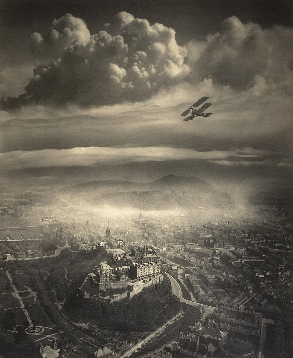
Edinburgh from the air. Alfred Buckham, c. 1920.
The English Channel with a phytoplankton bloom.
The beautiful meandering Tes River of Siberia and western Mongolia.
Satellite data shows the expansive ancient shores of Lake Chad.
Folds anf fjords of Western Australia's Kimbolton coastline.
Sediment flow from the mouth of a Siberian River.
The Mergui Archipelago off the coast of Myanmar.
Featuring one of the mountain climbs of the Tour de France, the Alps epic Col du Galibier.
The Great Slave Lake is the deepest lake in North America, and the tenth largest lake on Earth.
The red-hued saline lake of northern Tanzania.
“The Richat Structure geologic dome of northern Mauritania.”
A short video documentary with an overview of the logistics of Mount Everest.
Some memories from Notre Dame after the fire.
“Viewing some of my favorite American geography from the air.”
Mastery learning, Burundi moving its capital, and tools for SRTM data.
David Garcia and Daniel Huffman's cartography projects.
A great mini documentary about some of the most remote structures humans have ever built.
“Part of Vox’s ‘Borders’ series, on the China-Hong Kong border.”
“A couple of links about cities and places, and one on watching basketball.”
Smart Keyboard Folio, defending 'climate optiism', and exploring place name data.
400 miles of solitary driving through northern Alaska.
A great article in this month's National Geographic about the wild and lawless Congo River.
A drilling accident in 1971 in Turkmenistan's Karakum Desert created this 70 meter-wide crater, when a Soviet rig hit a cavernous pocket of natural gas.
The island of Nargin in the Caspian Sea.